Where are we?? |
|
|
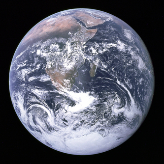
Well, we're on the planet Earth, but what does that really look like? None of us have ever seen the Earth from space, so we have to rely on globes, maps, and other tools to figure out what the Earth looks like and, just as importantly, where exactly we are on it.
Some questions to consider:
|
|
|
|
Globes and MapsIn reality, it's easier to use a 2D representation of Earth to understand it. Think about the world maps we've used for hundreds and hundreds of years. Explorers sailed across the oceans using (and making) maps drawn on paper.
|
We've continued using similar maps ever since, whether in school or on your smartphone trying to find a store or a friend's house. You might have even found this classroom for the first time using a 2D map printed on paper.
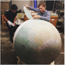
But if you're trying to accurately understand the size and shape of a giant sphere like the Earth, a 3D representation is best. Although some tools like Google Earth (video to the left) make this a bit more realistic, you're not likely to ever meet someone carrying a globe around in their pocket.
But if you're trying to accurately understand the size and shape of a giant sphere like the Earth, a 3D representation is best. Although some tools like Google Earth (video to the left) make this a bit more realistic, you're not likely to ever meet someone carrying a globe around in their pocket.
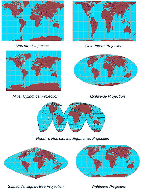
Projection MapsGlobes are the only (mostly) accurate representation of the Earth, but imagine peeling the outer layer of a globe and turning it into a flat map? Would it be a perfect square, or would there be all kinds of wrinkles and crinkles?
In order to make maps easier to use, various "cartographers" (map-makers) have created "projection maps" that "project" the spherical world onto a flat rectangle. Which projection map do you think is most accurate? Which one is easiest to use? |
|